Last October (2013) I spent a couple of days down in the south of Jordan, in and around Wadi Rum. The place is famous for a few things, not least being one of the hideouts of Lawrence of Arabia and where he based himself in order to 'liberate' the only port in Jordan, Aqaba, from the Turkish troops stationed there during WWI.
If there are two places in Jordan that are well known, Wadi Rum is the second with Petra the first. It is the largest wadi in Jordan and lies to the south of the country. It is possible to drive all the way through it and end up in Aqaba, the only port in the country, on the Red Sea. The area has been inhabited for many thousands of years including the Nabateans who built Petra. They have left their mark, as have those who came before in the way of rock paintings (petroglyphs) and carvings.
I've visited it a number of times but not recently and realised I don't really have any photos of the place.
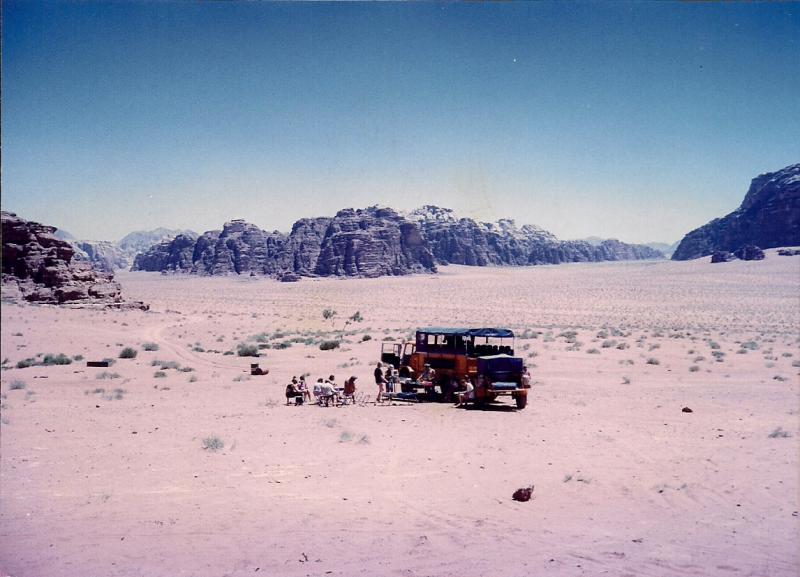
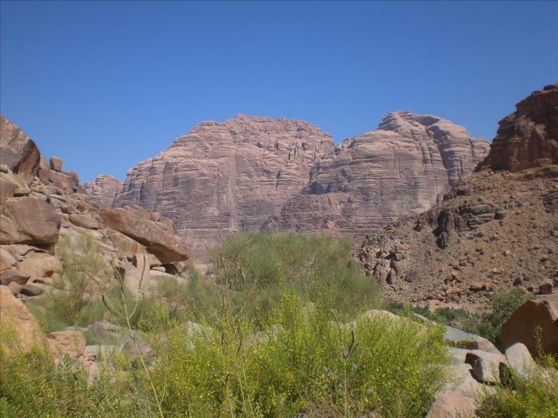
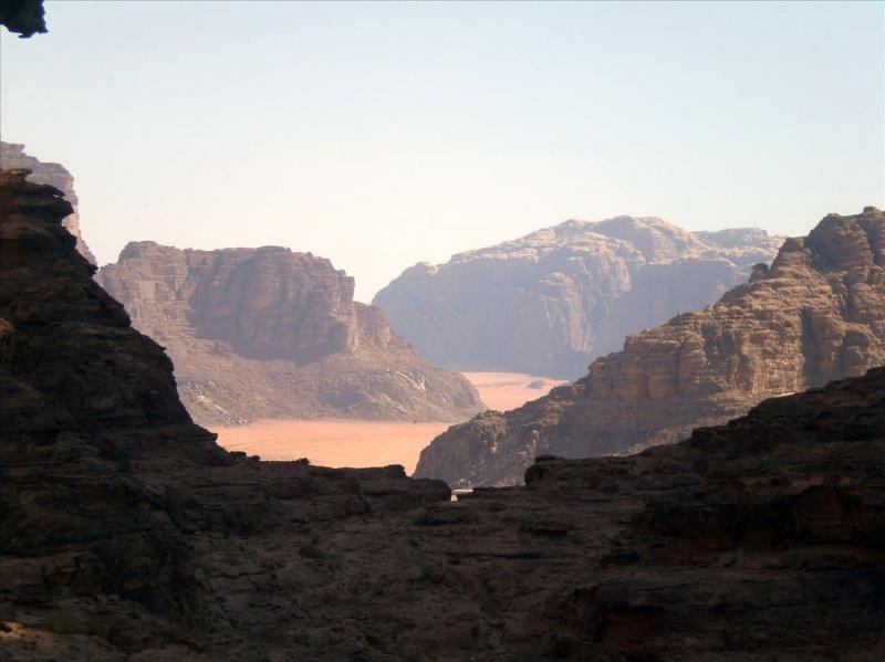
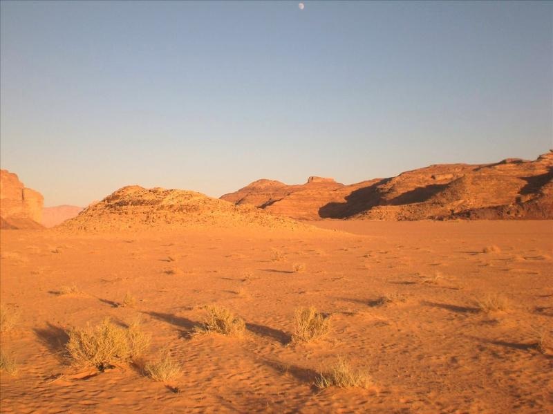
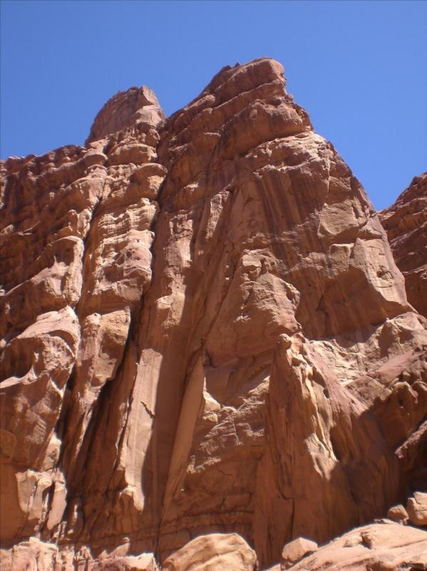
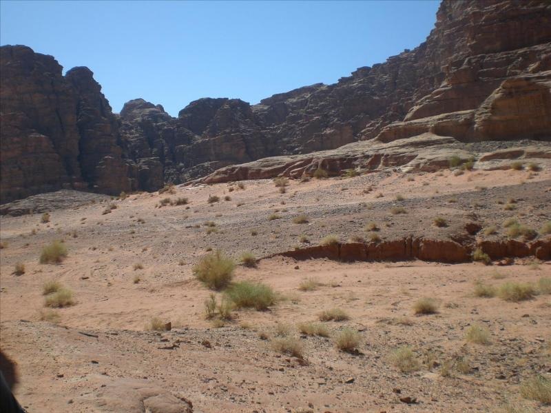
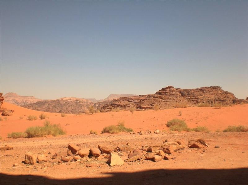
This was how I was there the last time –
If there are two places in Jordan that are well known, Wadi Rum is the second with Petra the first. It is the largest wadi in Jordan and lies to the south of the country. It is possible to drive all the way through it and end up in Aqaba, the only port in the country, on the Red Sea. The area has been inhabited for many thousands of years including the Nabateans who built Petra. They have left their mark, as have those who came before in the way of rock paintings (petroglyphs) and carvings.
I've visited it a number of times but not recently and realised I don't really have any photos of the place.
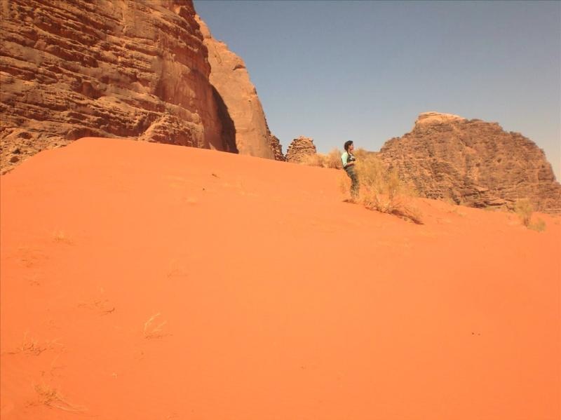
This was how I was there the last time –
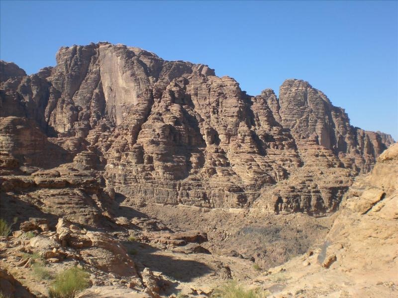
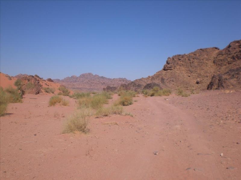
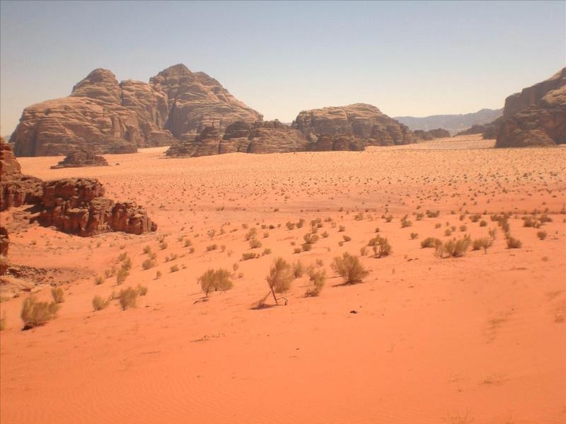
Needless to say it is obvious from the photos that there is a lot of sand and rock, mainly sandstone and granite. There was before and there still is. The object this time was not just to get in a jeep and explore at a pace, but to take our time and walk to inaccessible places.
It is not so easy.
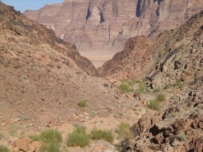
Not only do you have to pick the time of year but walking in sand and scrambling over rocks can take some doing. There was a mixture between picking our way through various canyons to trudging up a sand dune to all sorts of things in between.
I’ve travelled over most of the wadi but always in a vehicle and then getting out on foot for half an hour or so, but this time I wanted to explore just a small area and go places no vehicle can get to.
The first few are of the area near 'Lawrence's Spring' - named after him in the modern day but its proper name is Ain Shalaaleh. It is a half hour or so walk to get there from the road, the road that ends at the Resthouse. From there south there are only tracks. There is just one tarmac road in and out.
Initially you have to cut across the rocks on foot –
Pass by a small sign of habitation –
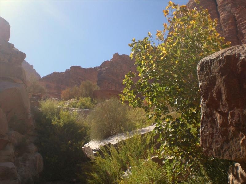
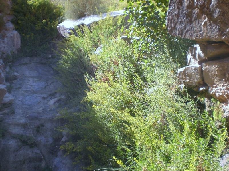
It begins to get a bit greener –
Then the full majesty of the spring hits you as a surprise (errrr.... slight exaggeration there. You can see the wet bit to the left side of the photo. That’s more or less it apart from, at this time of year, a small wet area just below it.)
I understand the spring flows all year and as undramatic as it is, in the desert it would be a god’s send –
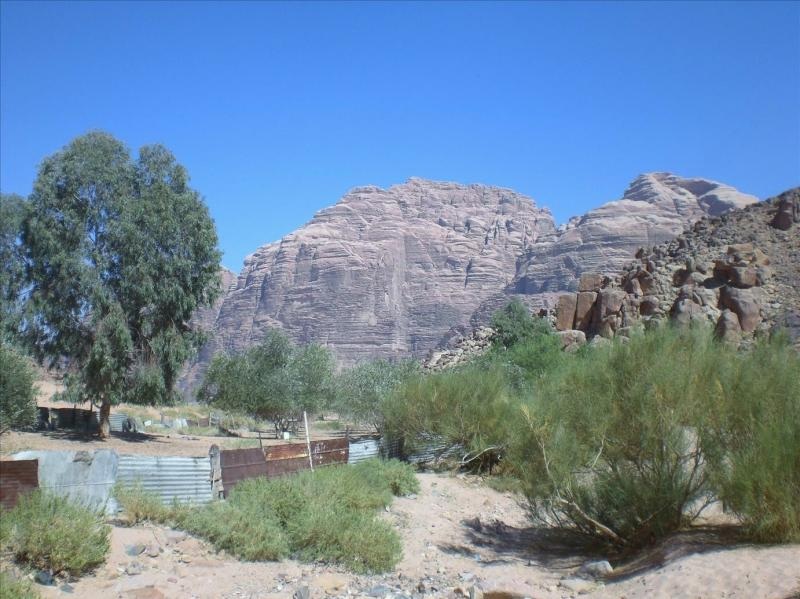
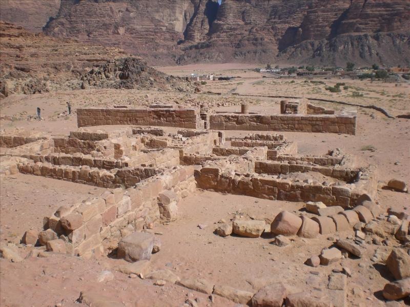
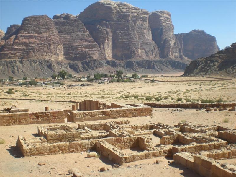
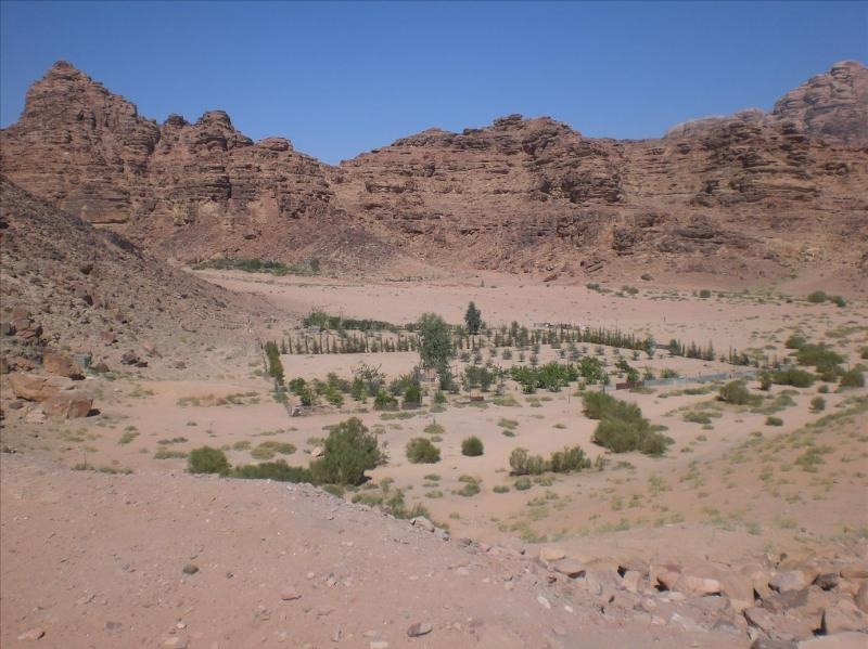
On the way back we didn’t head straight to the Resthouse but made a diversion past the remnants of a Nabatean temple. Probably built first or second century AD –
Moving further into the wadi we passed by another small plot –
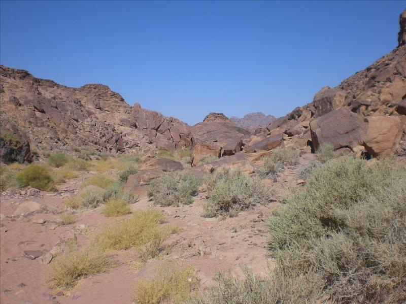
Then deeper and deeper into the unknown. In this photo you can see a large defile in the centre. On the right hand side of this, and to the right of that side, you can make out the rock strata forming a set of step like terraces disappearing off to the far right. This is where we headed for. Much, much further right, over the ridge is the tarmac road –
Scrambling up this to the top led us to a small sandy area and a small ridge –
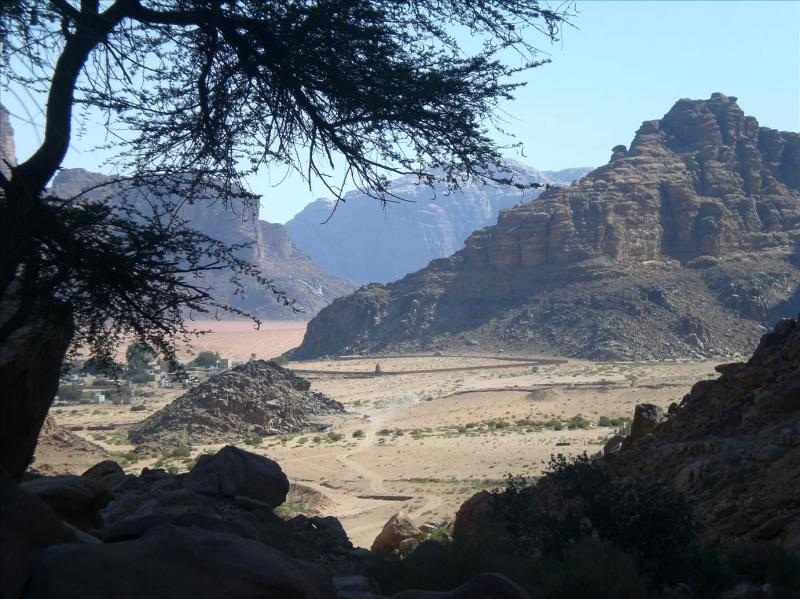
I slipped to the top of that and then could have a view of where we’d started from. To the left are the buildings forming a small village which includes the end of the road. To the right across the valley, is the spring and temple we’ve just come from out of shot –
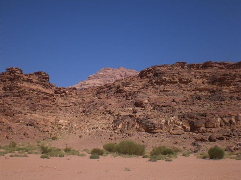
Carrying on and walking parallel to the road, but in the mountains, we get tantalising snapshots of the cliffs and rocks surrounded by sand –
We come to a point where if we want to go further, we must go a long way down to go a long way up again. This is not for us today so in this photo we begin to scramble our way down to the right –
This is the route down and centre picture you can just make out the electricity line that runs at the side of the road –
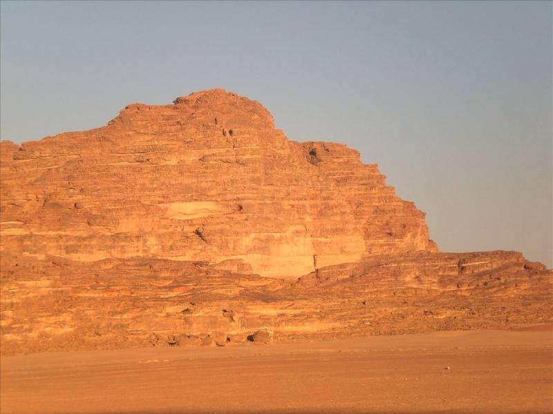
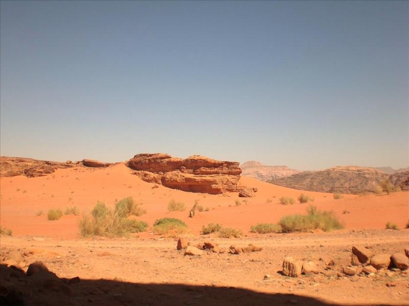
We then skirted the road and returned back to where we’d parked the car and as the sun began to drop we had a view across the valley –
We had booked some accommodation, one of the camps, for that night. I’d been sent the gps coordinates for it and had loaded them carefully into my hand held Garmin eTrex gps. We set out across the desert, following the direction for about an hour until we came to the exact spot.
Nada, zilch, nothing, nichts, nič –
Anticipating this might be the case and as we’d not paid any money in advance, I had a plan B (always have a Plan B in the desert). We drove back and found the road again and then stayed at another camp I knew of from before that is actually just off the tarmac.
The next day we packed our sandwiches and water again, drove a little way and then parked up and started walking –
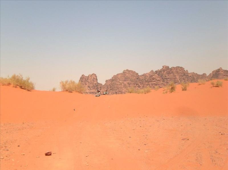
Half an hour or so later we saw a middle aged couple, decked out in proper hiking gear coming towards us. As we were the only living souls for quite a distance we obviously stopped to compare notes. The couple were French and were actually heading the way we wanted to go, into the hills and rocks, but had come across a barrier of rocks and couldn’t see how to get round it. So they decided to return.
Fortunately, as part of my planning, I’d prepared my gps with a number of waypoints, so they just tagged on with us for a couple of hours to find the way and then later they diverted off to take a shorter route home whilst we carried on.
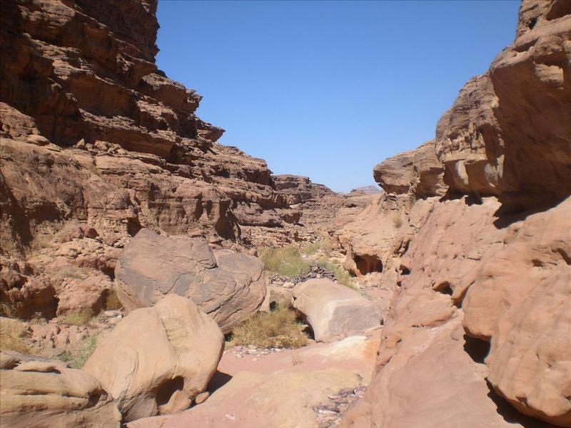
This is where we began to walk –
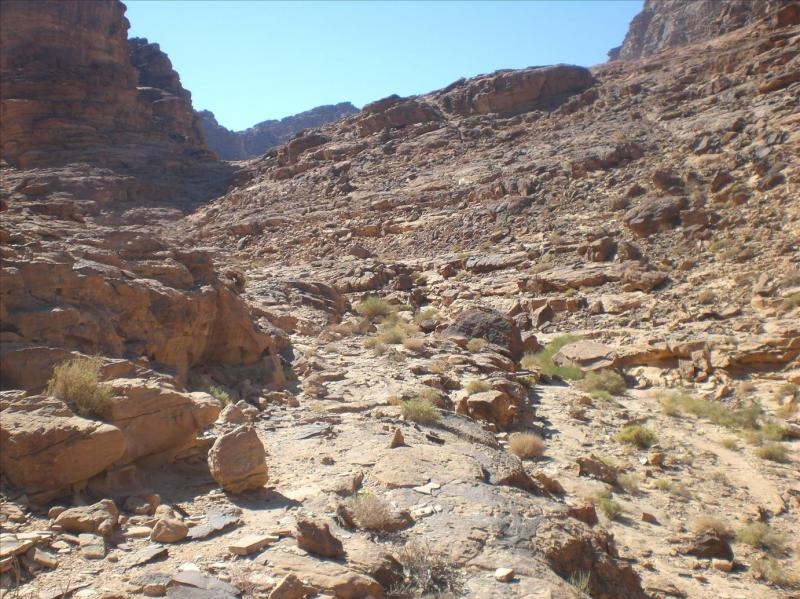
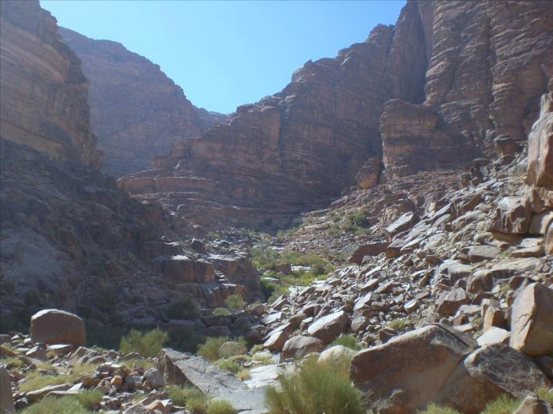
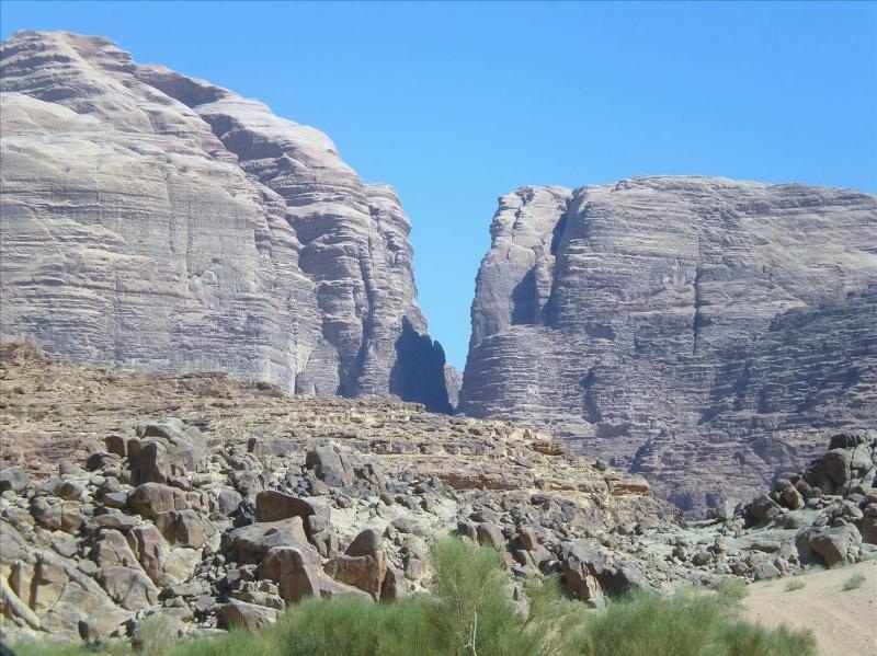
Then the sides began to close in –
And in further –
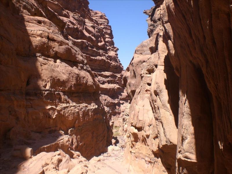
And still tighter –
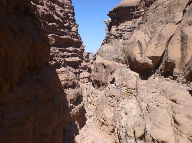
Until we broke through after quite a bit of scrambling –
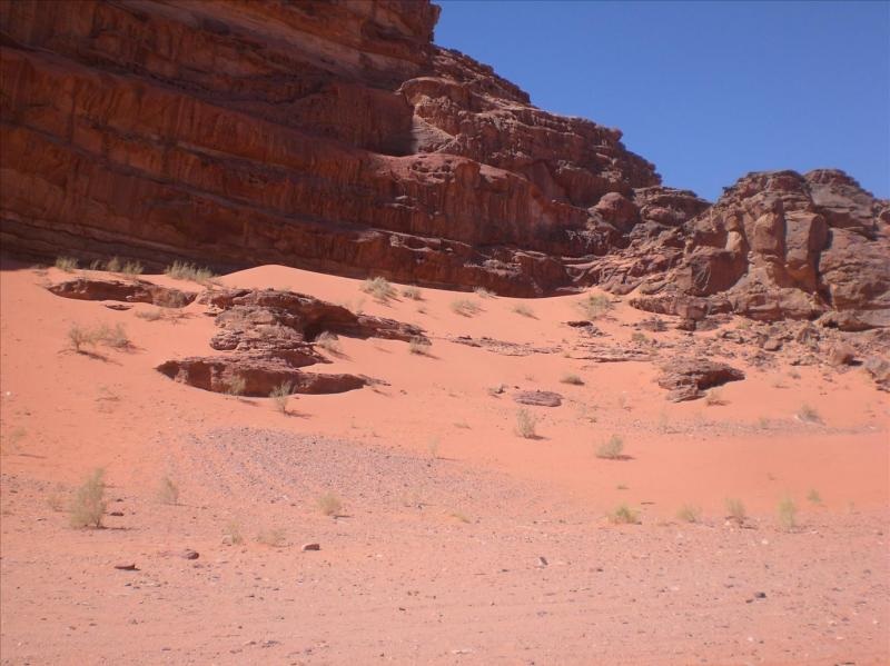
A vista opened up before us –
With plenty of sand –
We began to circle back –
Eventually hitting a track that headed in the right direction –
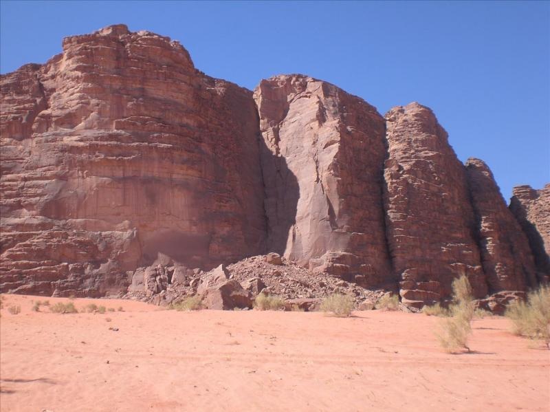
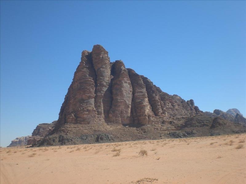
After half an hour or so, following the track, off to our right was a rock formation referred to as the Seven Pillars of Wisdom after T.E. Lawrence’s book, but actually has no connection to his book at all –
Feeling a bit hot and sweaty we called it a day and retired to the Visitors Centre for a late mezze and plenty of cold drinks.
I’ll probably not have time to return to Rum, but I’ll certainly try. It’s one of my favourite places.
Bye for now.
I’ll probably not have time to return to Rum, but I’ll certainly try. It’s one of my favourite places.
Bye for now.
