Imagine a figure of eight. The top is Amman, the bottom is Aqaba and the middle(ish) is Petra (or close enough). The left side is the Dead Sea Highway and the right side is the Desert Highway.
On a map you see there are no roads from Petra to the Dead Sea unless you go quite a way north or south. But then you spy a map that has a very minor road doing so. To your surprise there is another small road/track a bit to the south of where the first one starts that also cuts from the middle between the two Highways and finishes also at the Dead Sea. It takes you all of seven seconds to decide the best way to cover both of them, with an overnight stay in Aqaba. It turns out to be a rough figure of eight, as mentioned.
So that’s what I’m doing.
The drive from Amman to Petra down the Desert Highway is quite boring. The drive along the Dead Sea Highway is far less so, but nevertheless – been there, done that and got salt in my privates to prove it.
So a few photos of a drive from Petra to the Dead Sea.
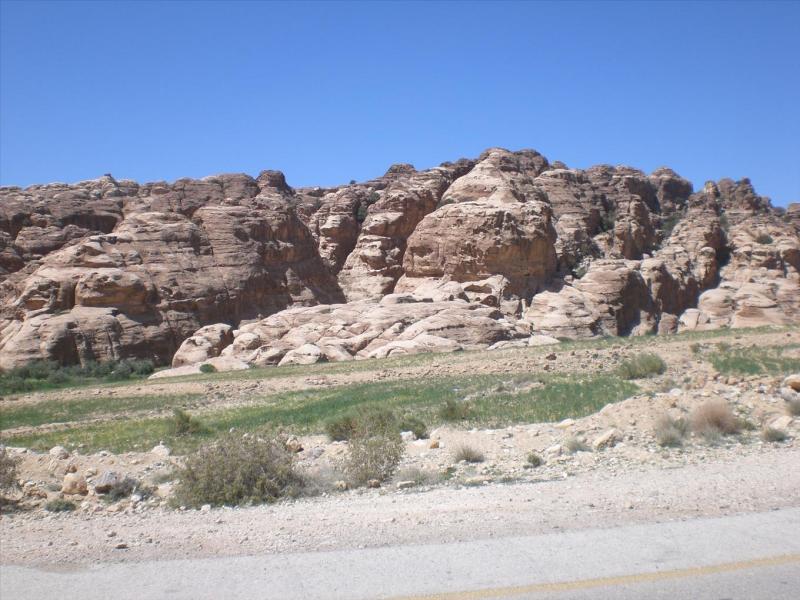
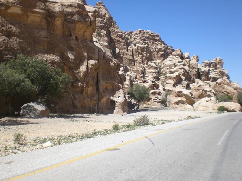
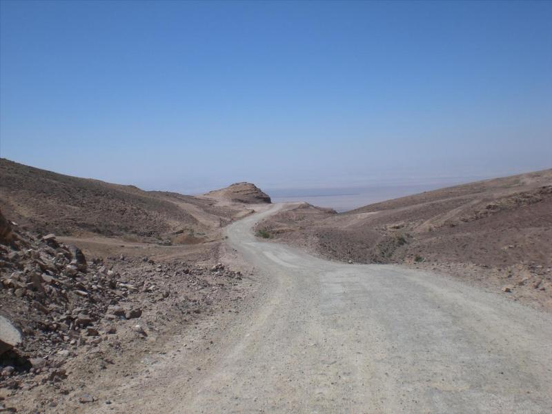
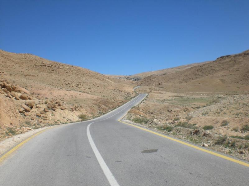
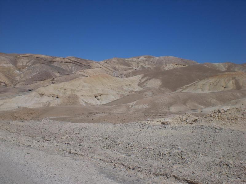
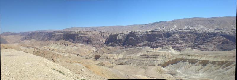
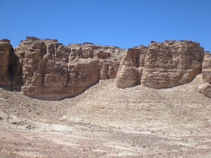
The ‘road’ actually starts at Little Petra a few kilometres to the north and initially is tarmac. It then deteriorates to broken tarmac, then to gravel as it descends and then back up again to good tarmac. As we start the scenery is similar to how it is around Petra –
On a map you see there are no roads from Petra to the Dead Sea unless you go quite a way north or south. But then you spy a map that has a very minor road doing so. To your surprise there is another small road/track a bit to the south of where the first one starts that also cuts from the middle between the two Highways and finishes also at the Dead Sea. It takes you all of seven seconds to decide the best way to cover both of them, with an overnight stay in Aqaba. It turns out to be a rough figure of eight, as mentioned.
So that’s what I’m doing.
The drive from Amman to Petra down the Desert Highway is quite boring. The drive along the Dead Sea Highway is far less so, but nevertheless – been there, done that and got salt in my privates to prove it.
So a few photos of a drive from Petra to the Dead Sea.
The ‘road’ actually starts at Little Petra a few kilometres to the north and initially is tarmac. It then deteriorates to broken tarmac, then to gravel as it descends and then back up again to good tarmac. As we start the scenery is similar to how it is around Petra –
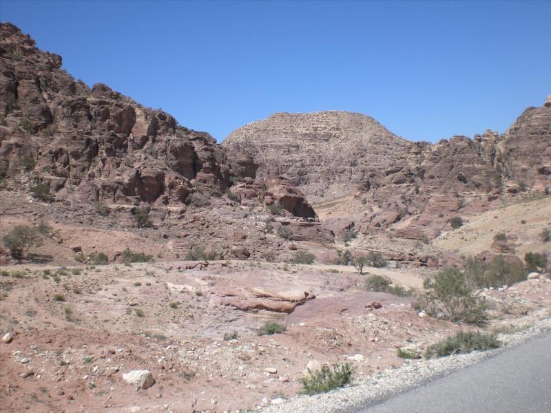
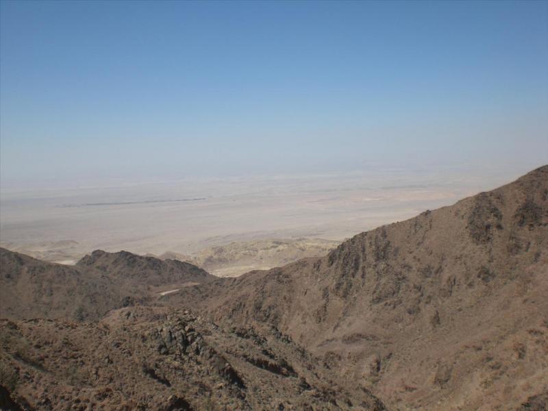
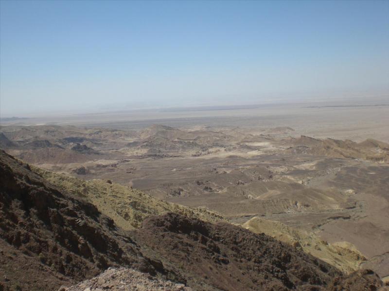
But then it started to change and open out with a glimpse of the bottom of the Rift Valley (where the Dead Sea is but further north and we don’t get to see it) –
Getting a better view of the bottom –
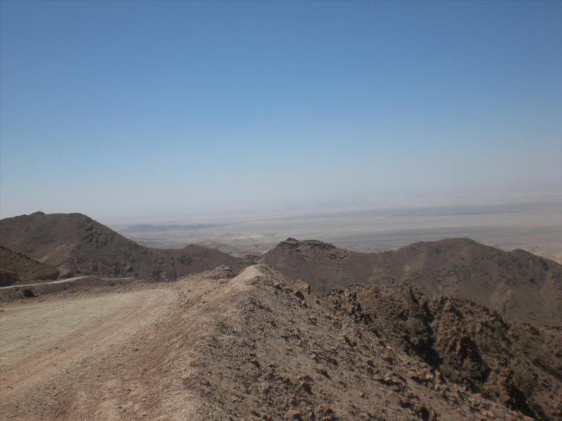
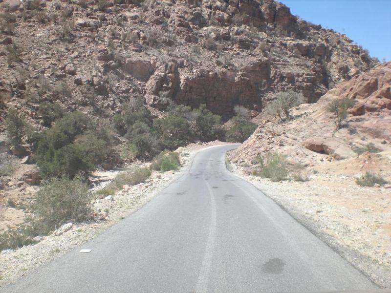
That’ll be the way down then –
Lower –
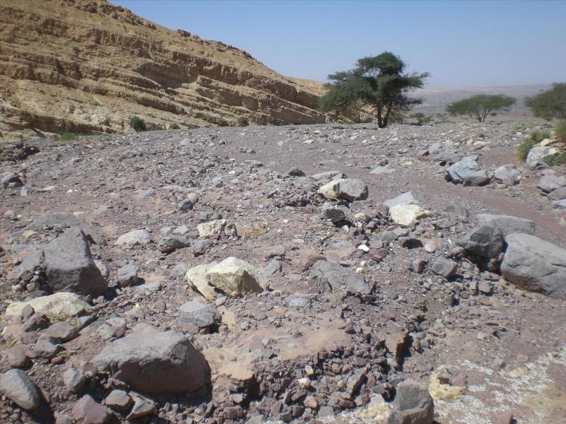
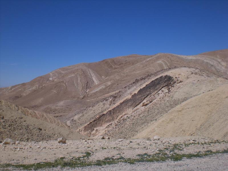
We start to see the ancient run offs from the mountains when there is heavy rain –
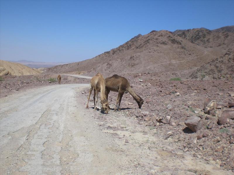
Met up with a couple of mates –
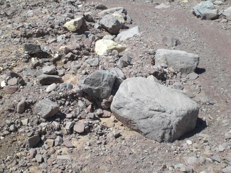
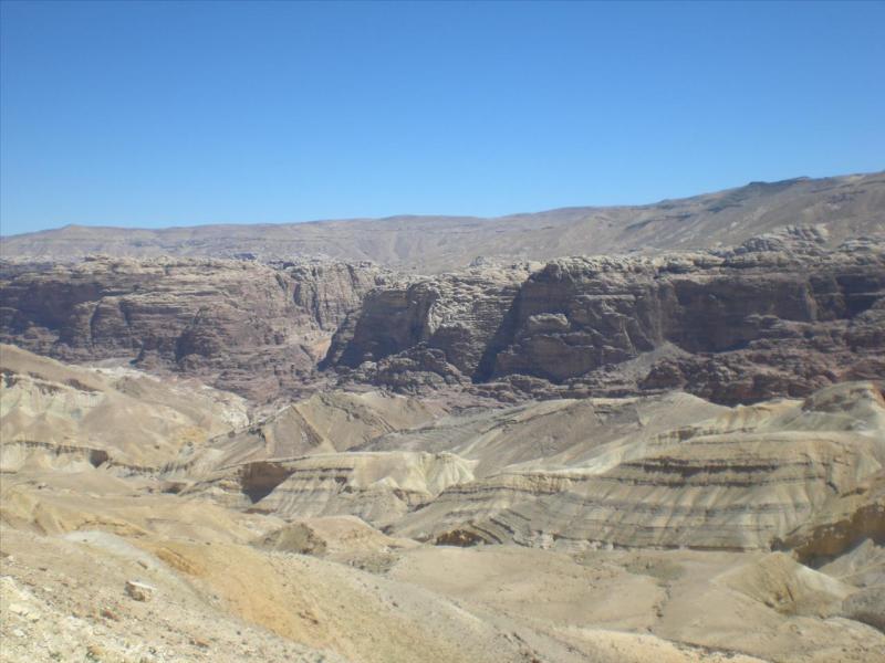
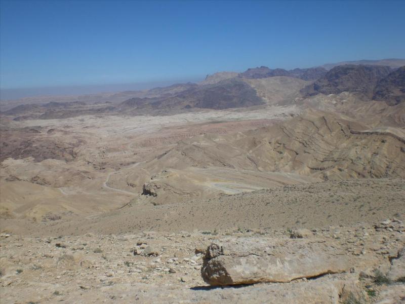
Lower still and you can see in the middle distance what would have been at one time a fairly big river but that only flowed when in flood (where the mauve(?) coloured rocks are) –
Closer view of the river bed and the rocks –
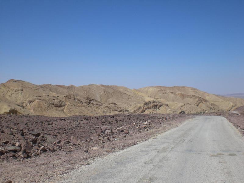
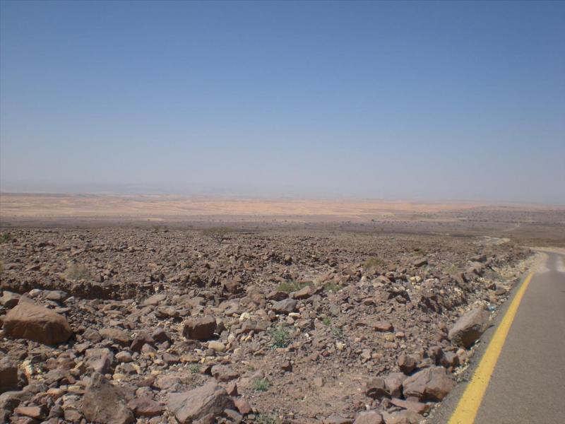
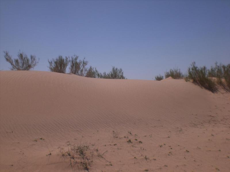
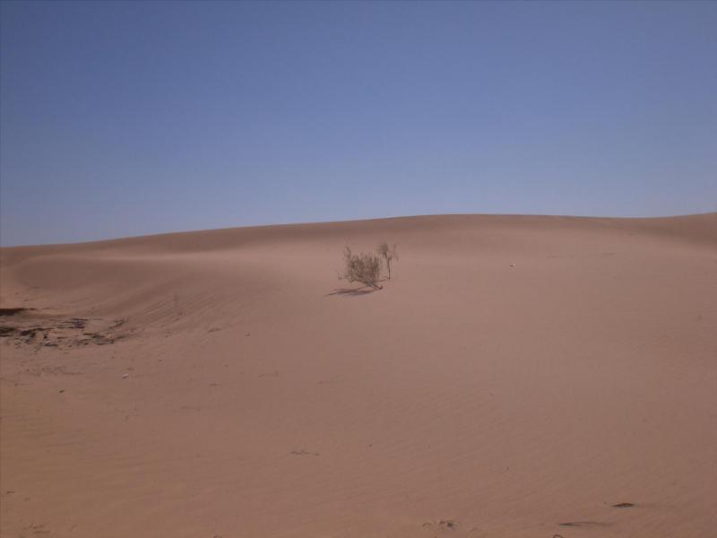
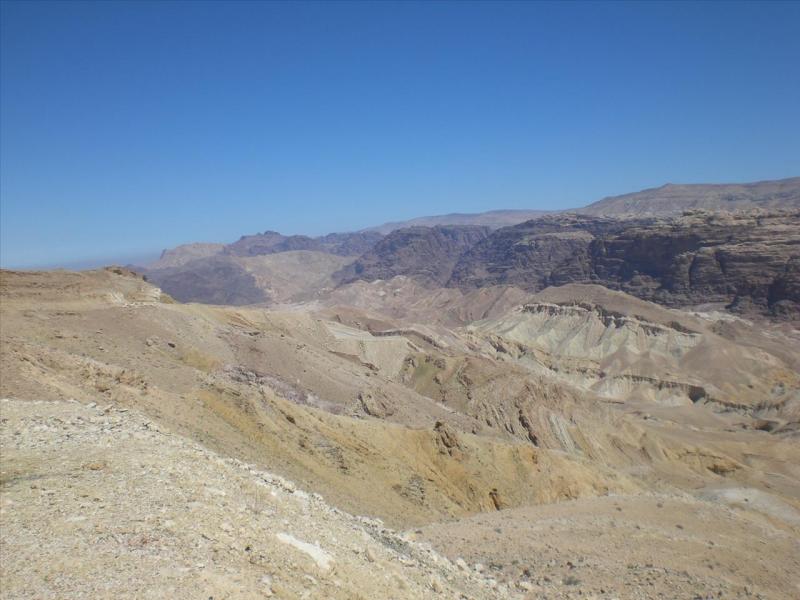
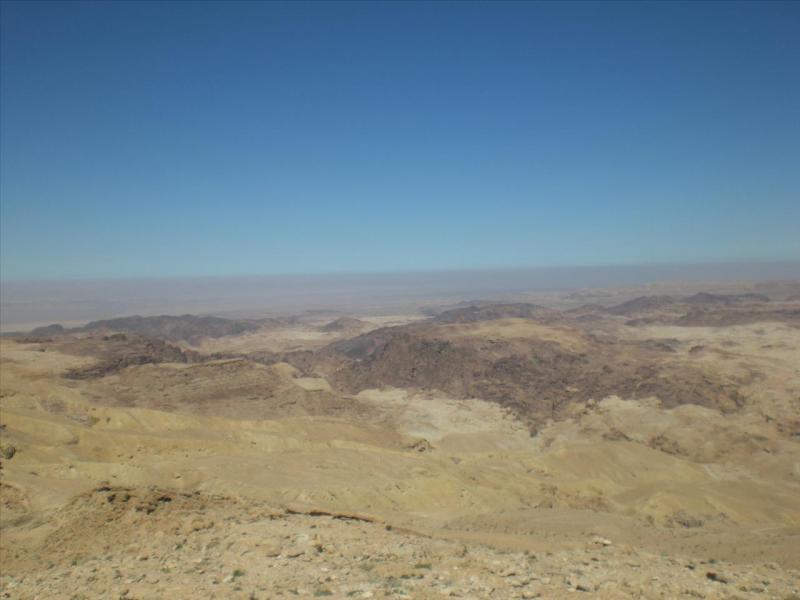
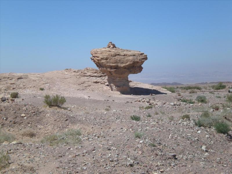
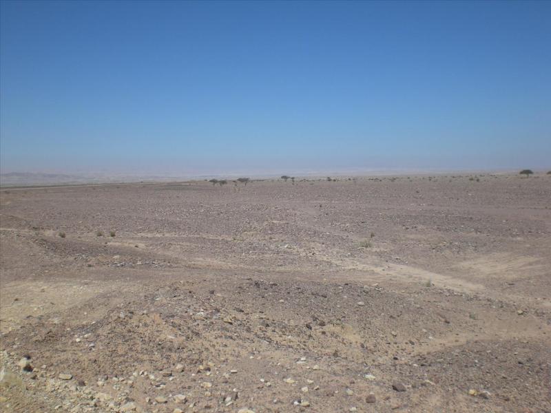
Starting to get a bit more sandy now as we reach the bottom with great lumps of rock sticking out –
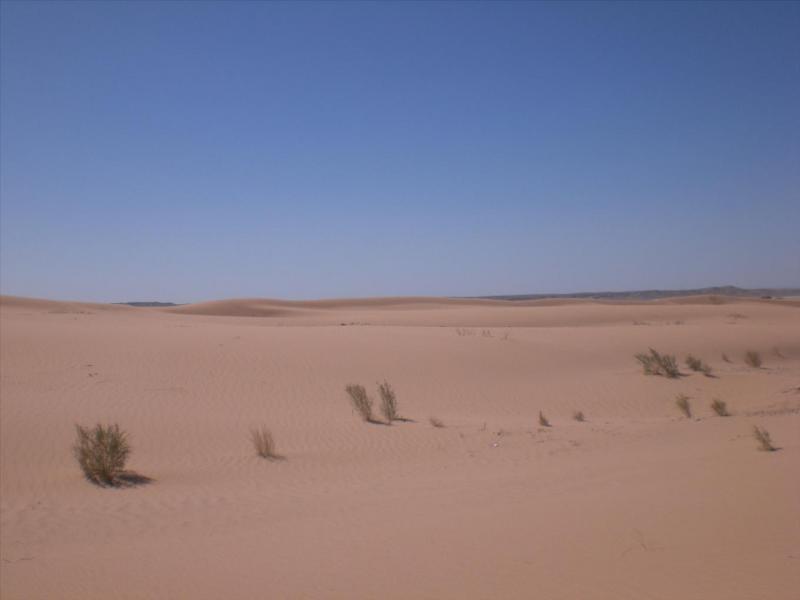
More of the course of the river in the near distance, the sand in the far distance, in the very far distance, very feint, is Israel. Also the road becomes better and we see the first car for a while –
A bit closer shot –
More and more sand appearing –
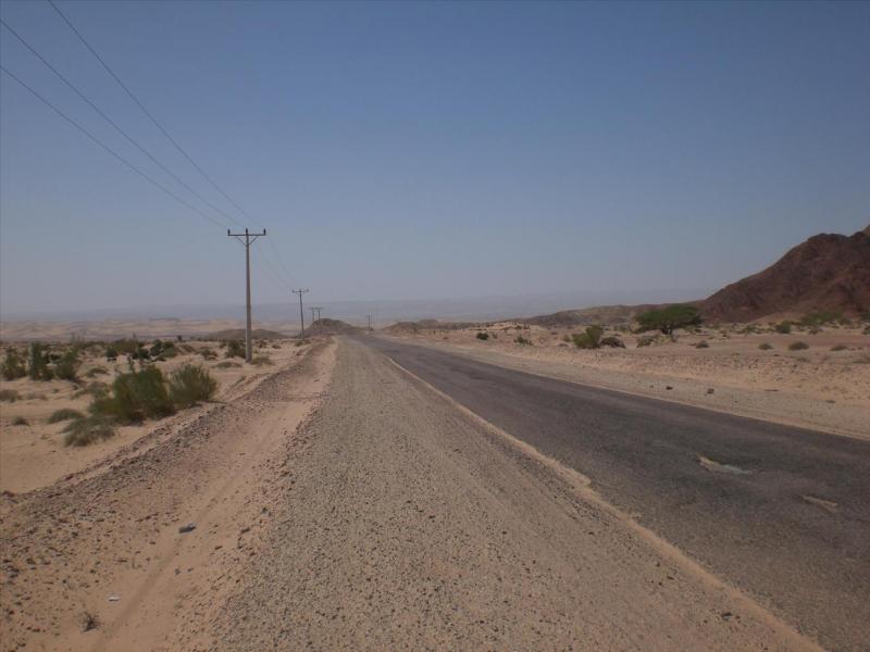
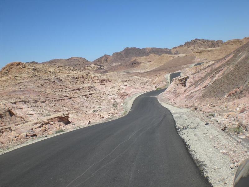
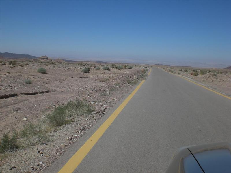
The road travels somewhat further as it levels out at the bottom and joins the main Dead Sea Highway to Aqaba -
Next day.
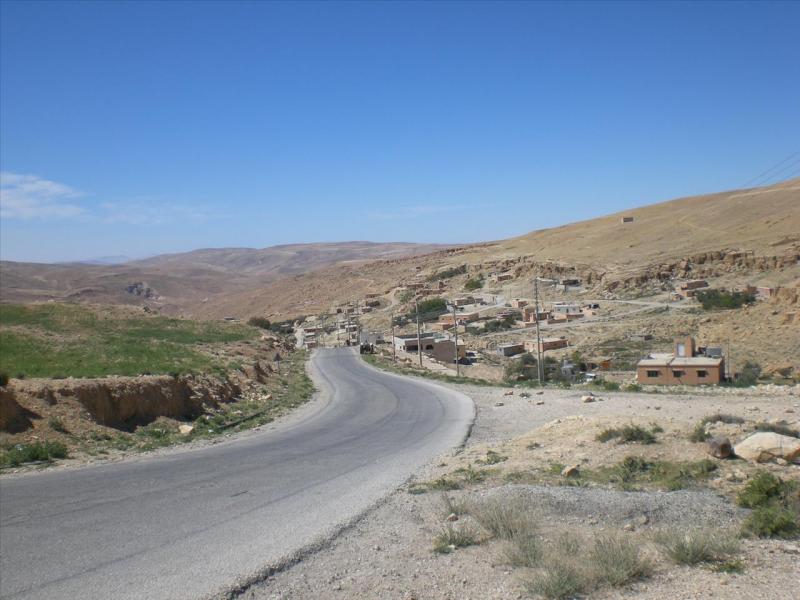
So today I slipped down another what I hoped was a track but turned out to be more of a road. Someone has had a load of spare tarmac and didn't know what to do with it, so they laid it on here I suppose.
Anyway, for those of you who are interested, I drove up the Desert Highway out of Aqaba, turned onto the Kings Highway that would lead to Petra. But before getting there I turned left (at 30° 10.310'N 35° 25.674'E) and followed the road (through 30° 5.861'N 35° 21.896'E) and rejoined the Dead Sea Highway (at 30° 17.457'N 35° 15.052'E).
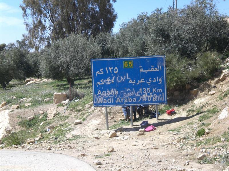
It was tarmac to begin with and I soon saw a road sign (see the kids hiding behind it?) which made me think this wasn't going to be as remote as I'd hoped. -
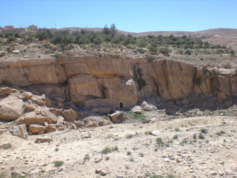
Saw some signs of ancient habitation -
Now that was the type of track I'd hoped for,obviously now redundant apart from goats using it no doubt -

The road carried on -
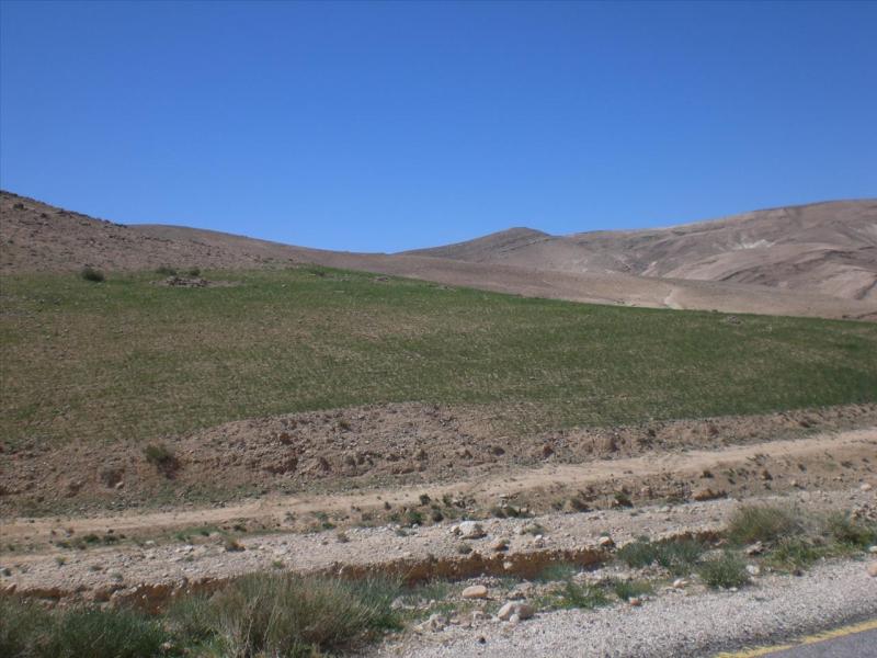
The farmers here have their work cut out for them -
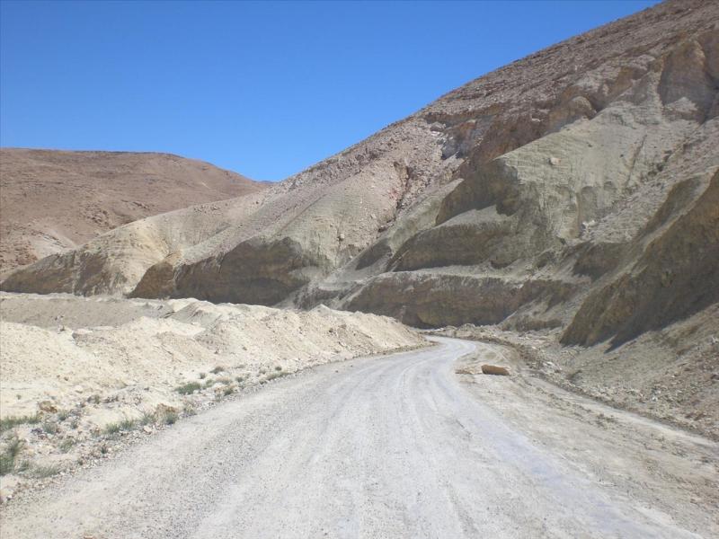
The road did deteriorate in places. This being the site of landslides every time it rains heavily (probably every year actually). The road had been cleared in my estimation less than a month ago. That was when we had the last large downpour -
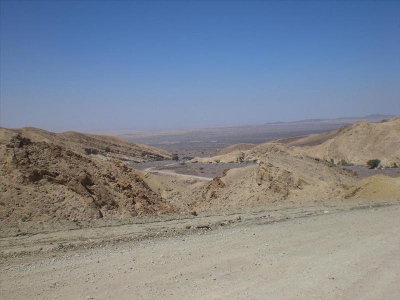
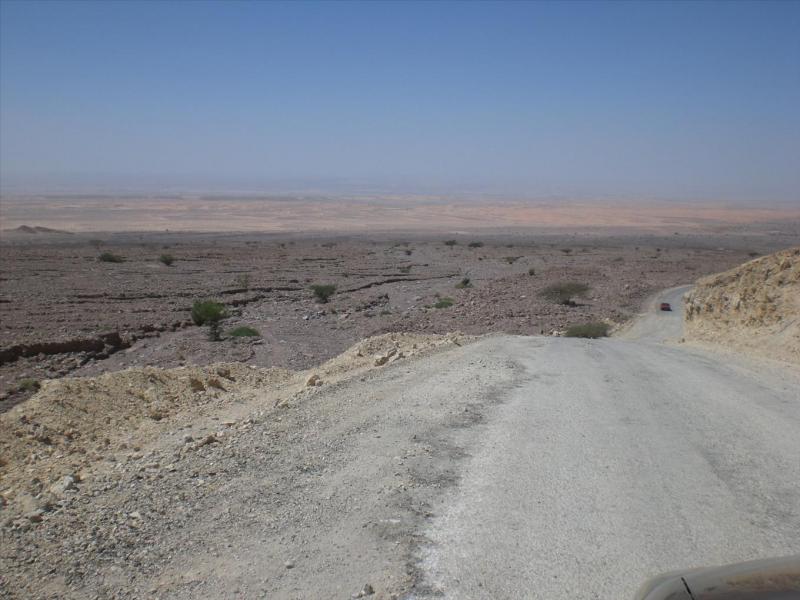
We just start getting a view of the Israeli hills the other side of the Jordan valley in the feint far distance. In the middle distance running from the centre to the right is the road -
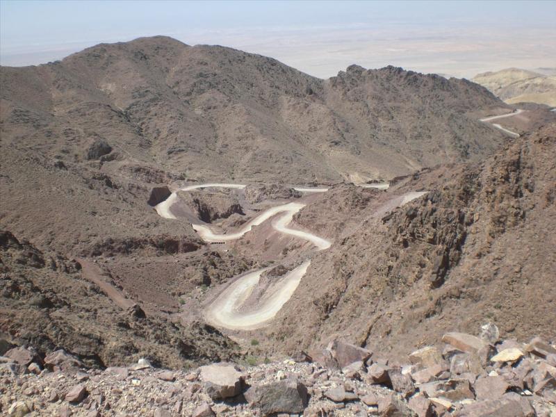
You can just see the road ascending the next set of hills -
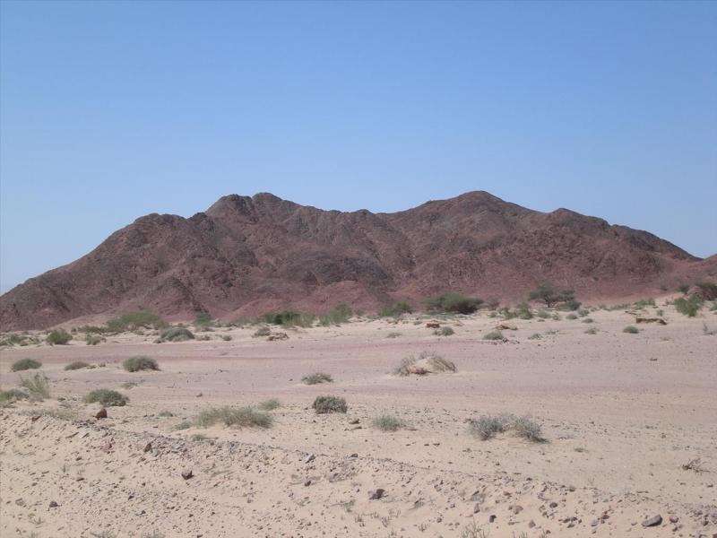
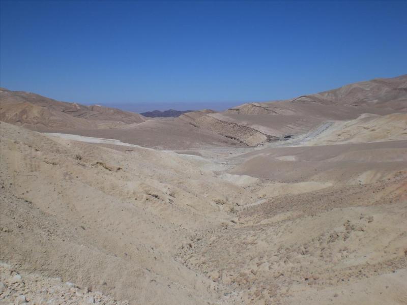
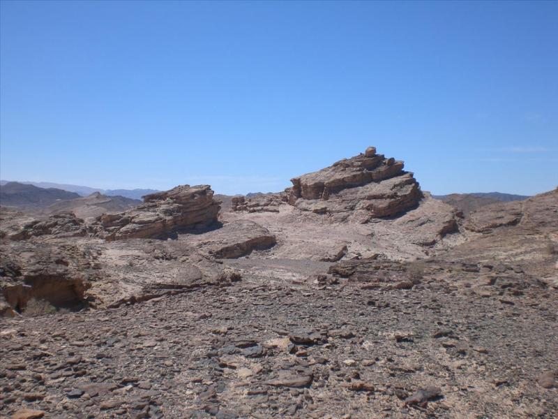
Interesting geology (to me anyway). We are approaching a place called Wadi Araba, a massive wadi 'as old as the hills' -
You can just make out the road descending from the hills into the wadi as the terrain drops away to the valley.
A view turned slightly to the left from previous.
And then, and then!............ some person who has no idea what appeals to me and is only thinking of the local population covers the road in smooth black tarmac. The cheek of it.
It is as though a wicked witch has dropped her black funereal hair ribbon across the hills tempting travellers, siren like, to descend into the depths of depravity.
That'd be me then.
More scenery as we are now nearly at the bottom.
Straight on, Israel and the Jordan Valley, as mentioned previously somewhere, formed as an offshoot of the Great Rift Valley from eastern Africa.
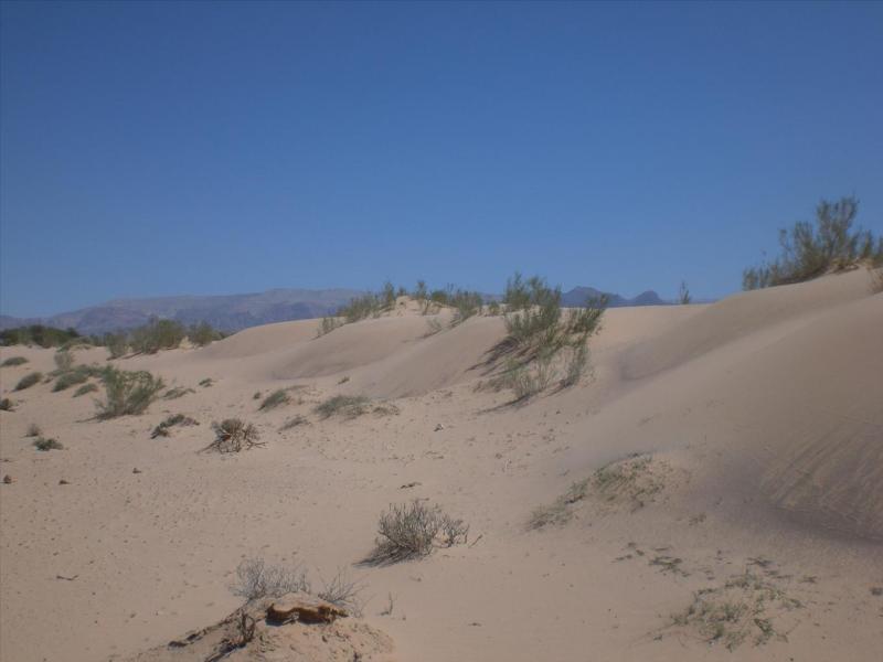
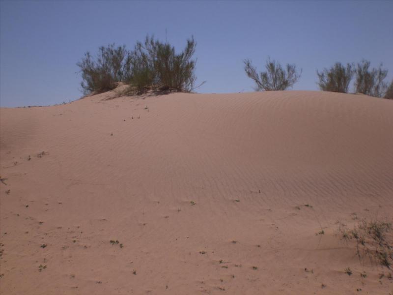
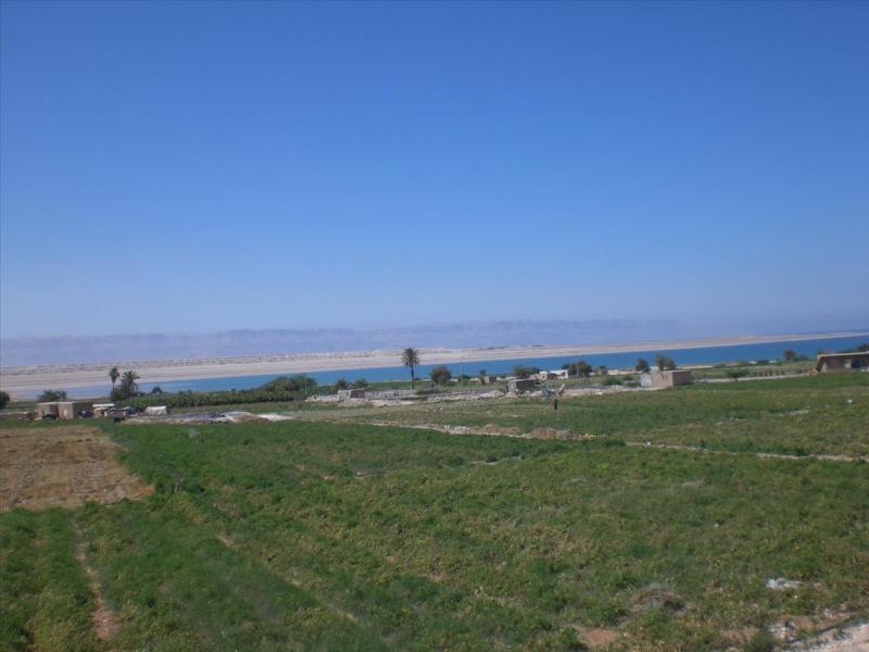
Aha! we hit another 'alluvial fan'. A bloody great big one.
I drove across that, there is the road, and then hit the Dead Sea Highway to turn north. That was it.
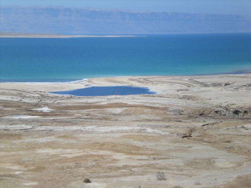
I did take a couple of shots further though. One of the southernmost point of the Dead Sea.
And one of the sinkholes that dot the southern end, now filled in with water and would make an excellent private swimming pool.
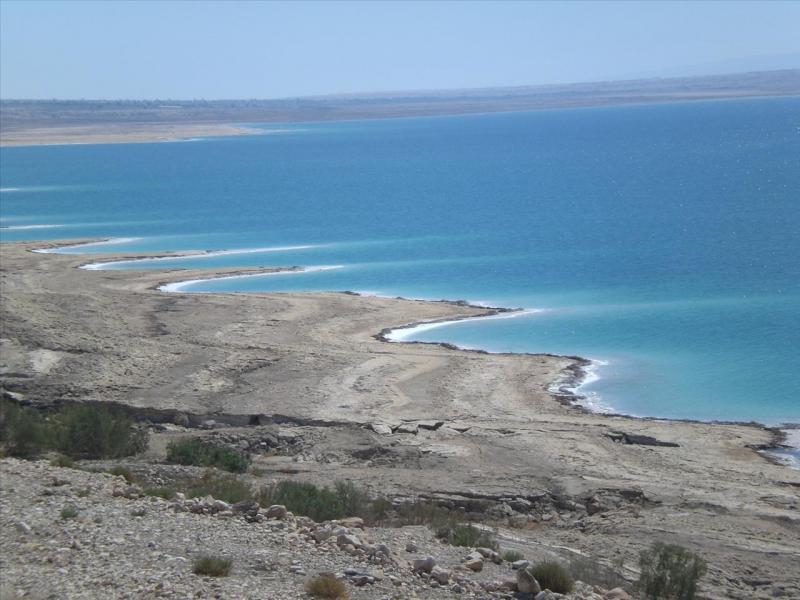
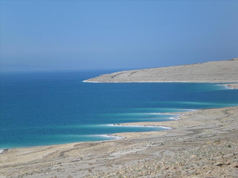
To finish off, a couple of shots of the shore line.
See you again sometime.
