To the east of Amman are a number of what are called ‘desert castles’. Bit of a misnomer this is because several are not in a desert and the majority are not castles. But why let the facts get in the way of a good story, that’s a motto I can live by as well.
I decided to head out to one today, called Qasr Al Kharaneh, about 65km to the east.
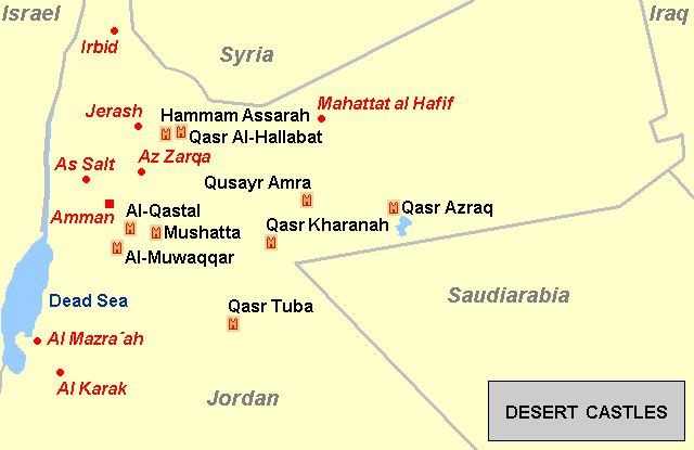
You can see it on this map, approximately in the centre and to the right of Amman. The ‘castles’ are in black, the red are places –
I decided to head out to one today, called Qasr Al Kharaneh, about 65km to the east.
You can see it on this map, approximately in the centre and to the right of Amman. The ‘castles’ are in black, the red are places –
There is much debate about what these buildings were for, why they were built and why they were built where they were.
It is said they were built close to trade routes. They might have been defensive but even to my untrained eye (but one that has seen many castles/forts in the Middle East) I don’t think they particularly are, at least that wasn’t their primary purpose.
It is said they were caravanserai (a roadside inn where travellers could rest and recover), or a meeting place for Bedouins, or a hunting lodge, even just as a holiday home for the ruling class.
Whatever they are, they are old. Not as old as Jerash (Roman) but old as in thirteen to fourteen hundred years old. All of them were built between 660AD and 750AD during the time of the Umayyads who had their capital in Damascus.
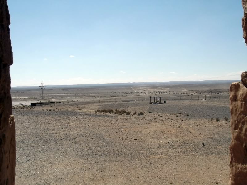
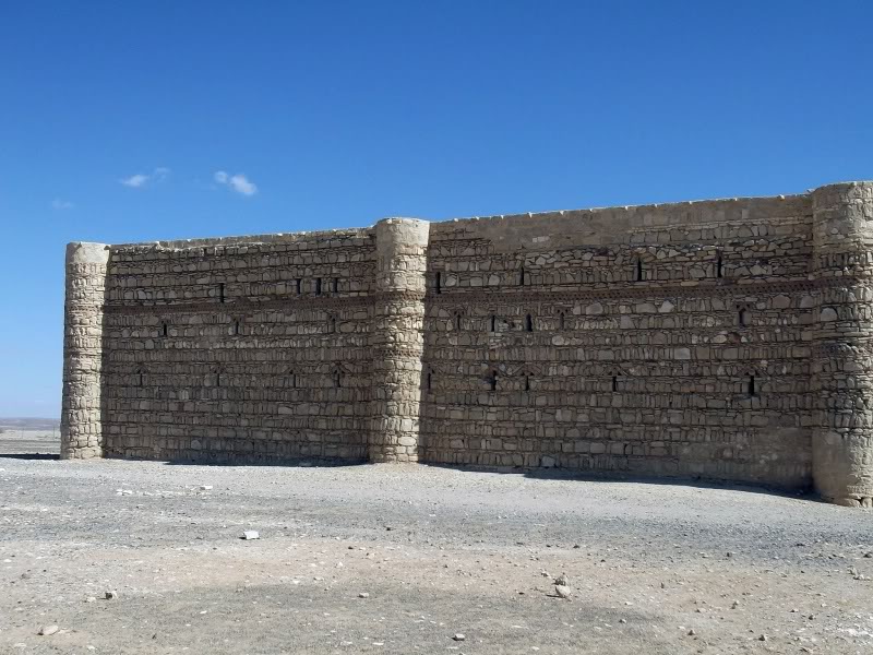
This one is a bit of a mystery in that nobody can decide what it was for and why it was here. It apparently was not on a major trade route, it looks formidable but experts say things like the arrow slits are all wrong, and even though it had a rainwater pool in the centre, it didn’t have enough water to act as a caravanserai where large amounts were needed for camels etc.
Anyway, let’s leave Amman and go and have a look.
We head east after breakfast (baked beans and poached egg on toast) and take with us a cool box of cans of pop, water and fruit, just in case. We head towards the border with Saudi Arabia –
It is said they were built close to trade routes. They might have been defensive but even to my untrained eye (but one that has seen many castles/forts in the Middle East) I don’t think they particularly are, at least that wasn’t their primary purpose.
It is said they were caravanserai (a roadside inn where travellers could rest and recover), or a meeting place for Bedouins, or a hunting lodge, even just as a holiday home for the ruling class.
Whatever they are, they are old. Not as old as Jerash (Roman) but old as in thirteen to fourteen hundred years old. All of them were built between 660AD and 750AD during the time of the Umayyads who had their capital in Damascus.
This one is a bit of a mystery in that nobody can decide what it was for and why it was here. It apparently was not on a major trade route, it looks formidable but experts say things like the arrow slits are all wrong, and even though it had a rainwater pool in the centre, it didn’t have enough water to act as a caravanserai where large amounts were needed for camels etc.
Anyway, let’s leave Amman and go and have a look.
We head east after breakfast (baked beans and poached egg on toast) and take with us a cool box of cans of pop, water and fruit, just in case. We head towards the border with Saudi Arabia –
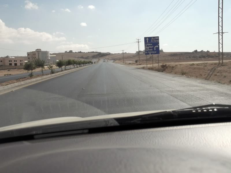
The road begins to lose height out of the capital –
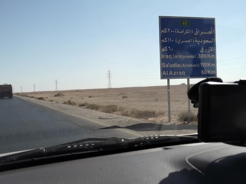
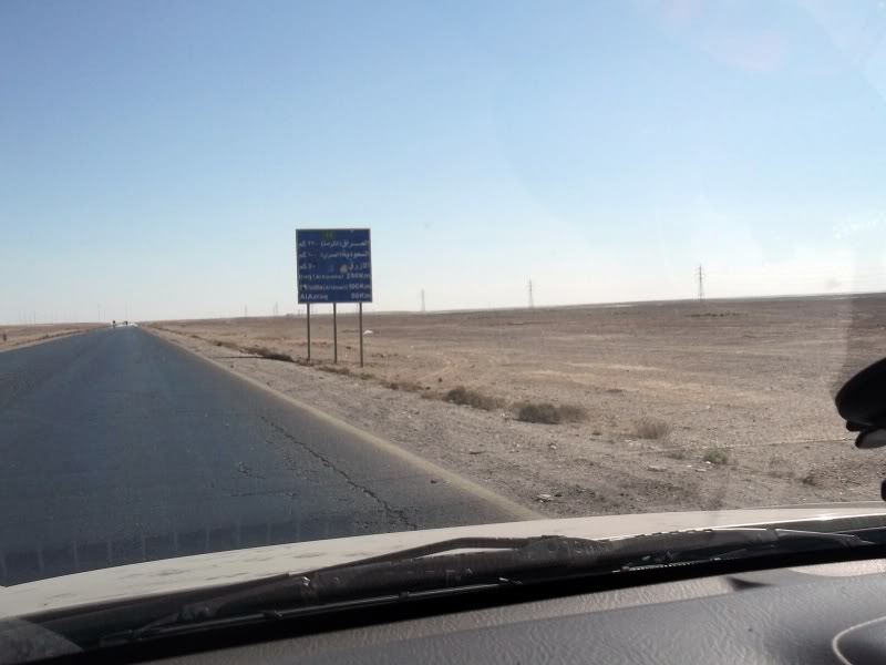
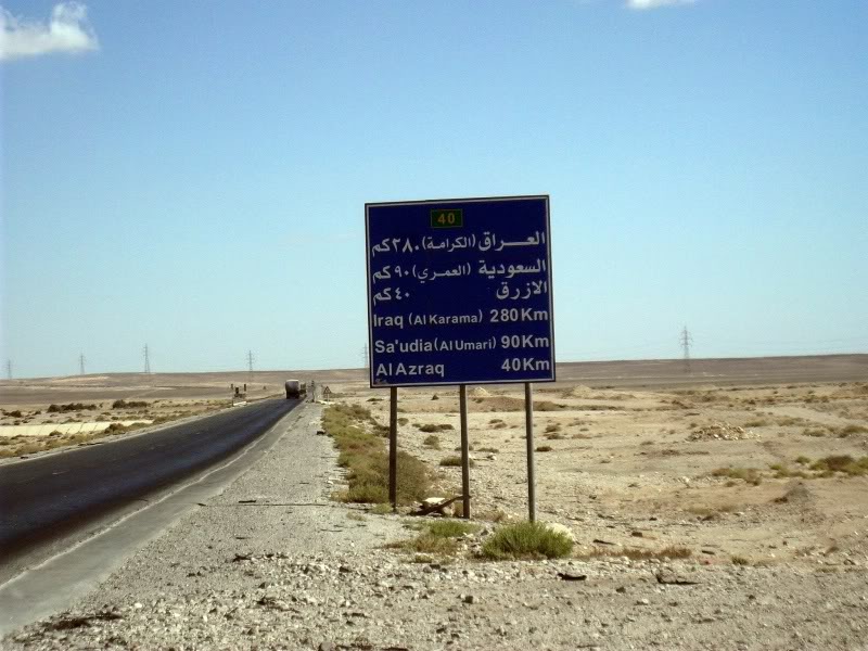
Soon we are just 110km from Saudi Arabia –
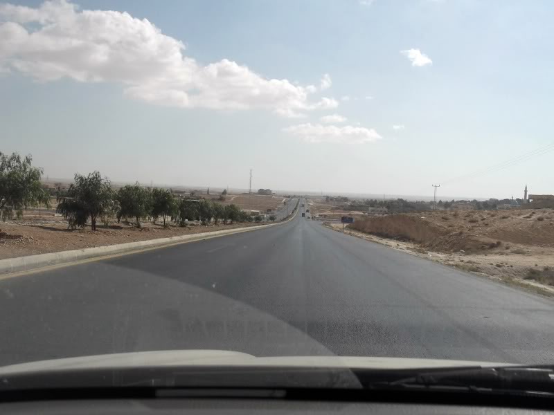
Getting a bit flatter now with electricity pylons marching away to the right –
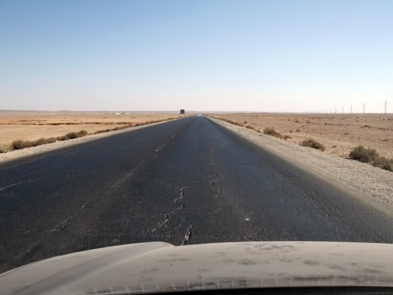
Saudi is 100km now and Iraq just 290km –
And then what do I see? –
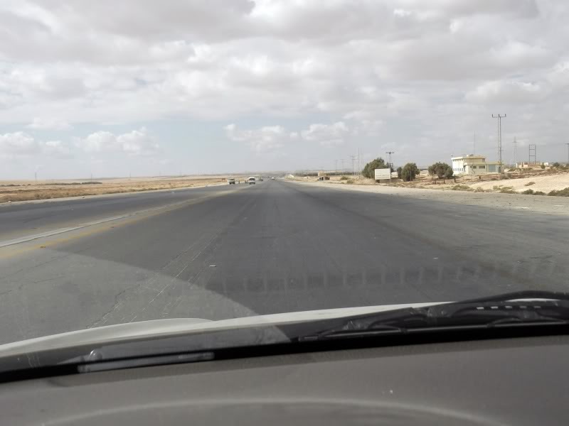
Means nothing to most people I suppose but what I’m looking at is not the buildings or anything around the road – it is the road itself.
Here’s another shot a little further –
Here’s another shot a little further –
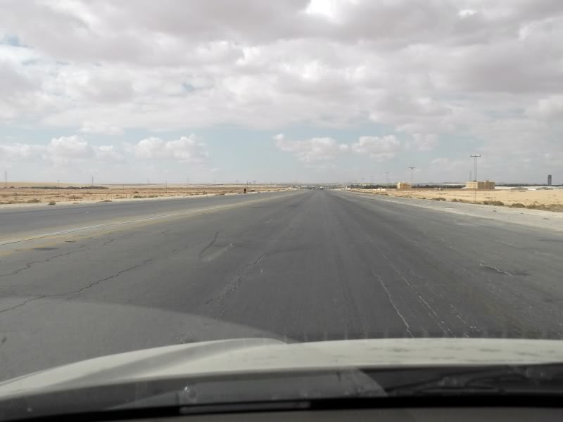
Have you seen this type of road before?
Doubtful as they are rare in most countries but quite usual if you’ve seen them before and tend to notice them.
The road serves a dual purpose as an airstrip/runway.
Notice the lack of central reservation, the wideness of the road and the lack of obstructions. Plus it tends to go on for a couple of kilometres in a dead straight line.
Somewhere around will be the reason for it. In this case, not only is it on a main route for defensive purposes to the east, it is also at the side of the main Army training school (no photos for obvious reasons).
Anyway, we go a bit further –
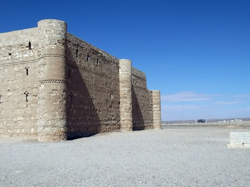
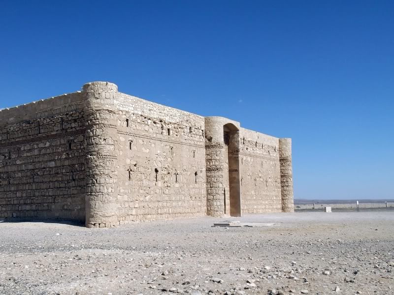
Just off to the side of the road we see our goal –
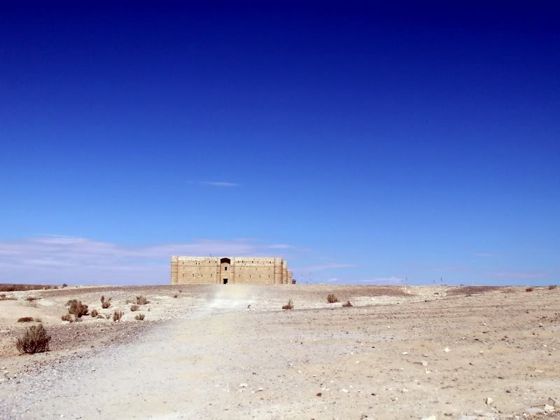
We get out of the car and have a walk to it hoping the two lone tourists there have finished –
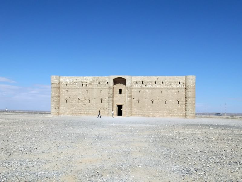
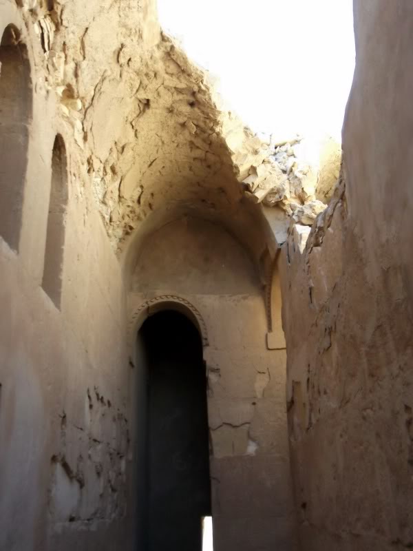
On arrival we have a walk round and see what it’s like –
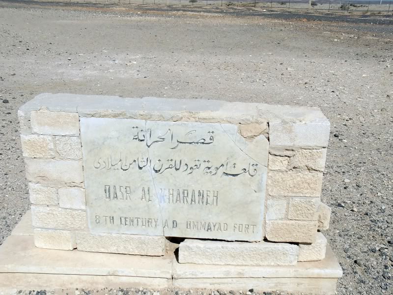
Check we are in the right place –
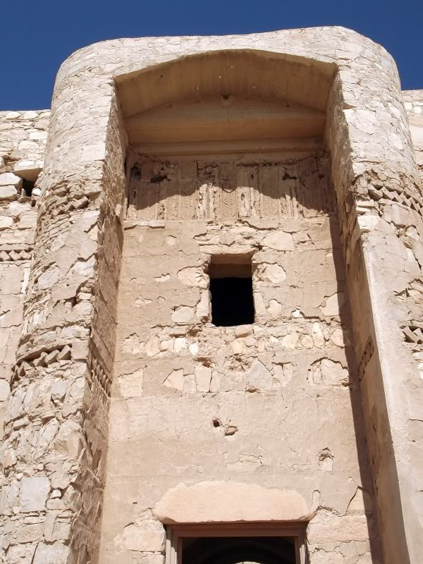
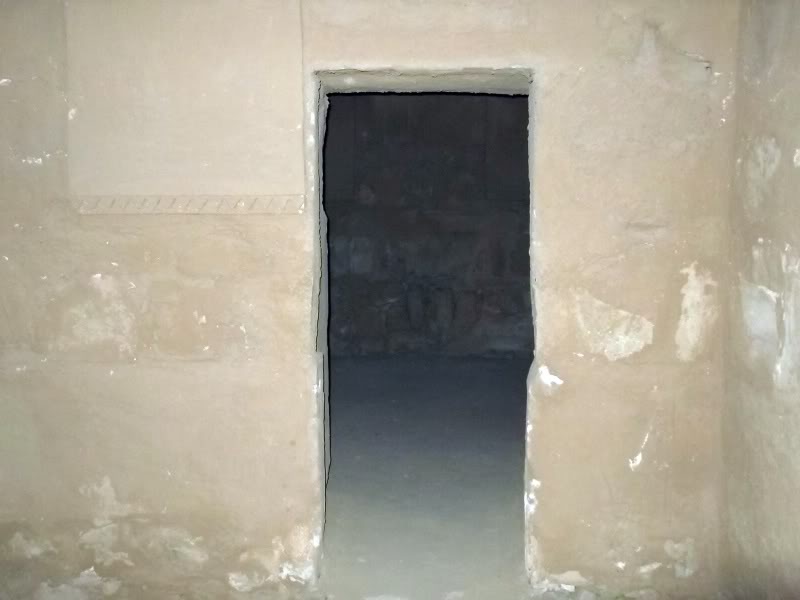
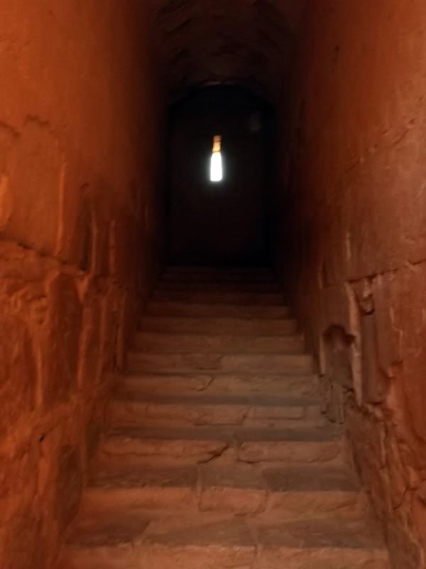
The entrance –
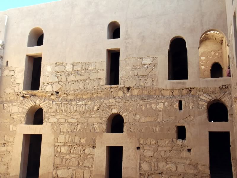
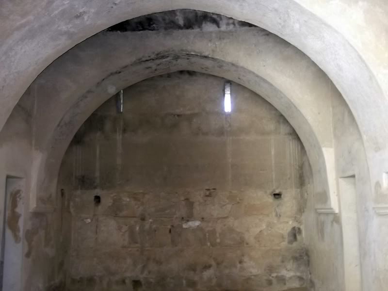
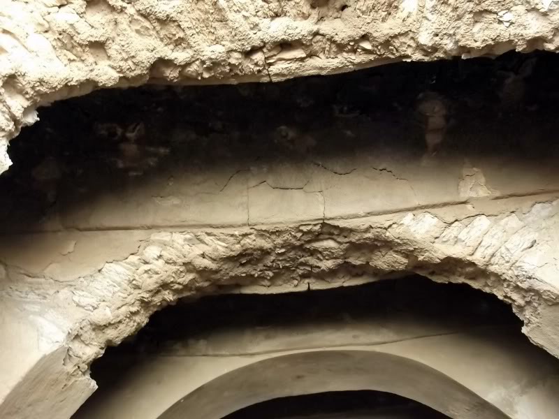
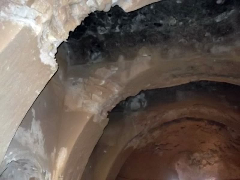
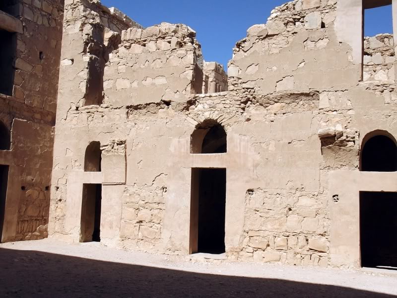
The building is made of roughly hewn limestone blocks and the whole thing has suffered over time due to earthquakes. Unfortunately as the next photos can show the restoration has been done in many places with the wrong mortar and plaster.
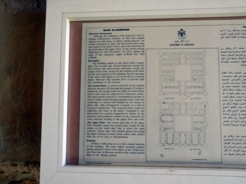
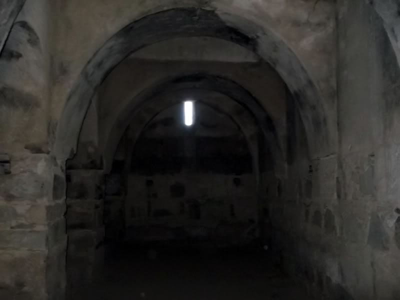
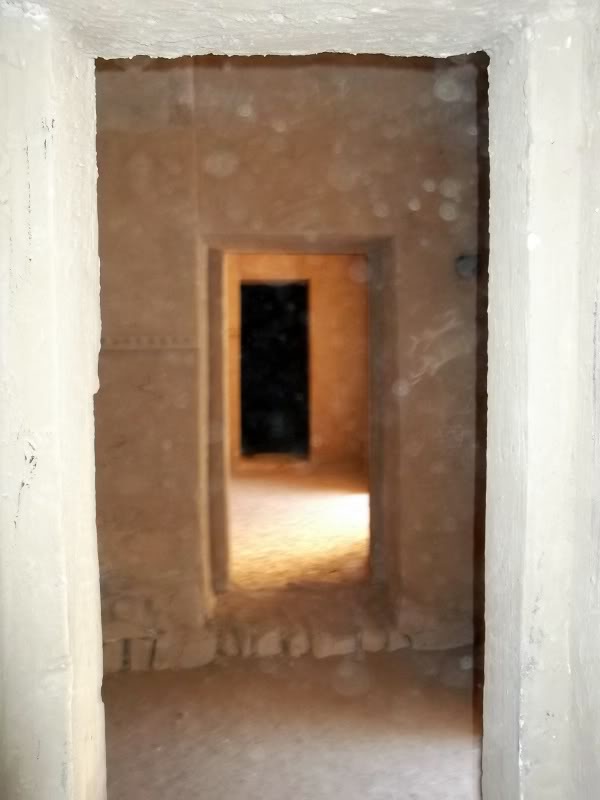
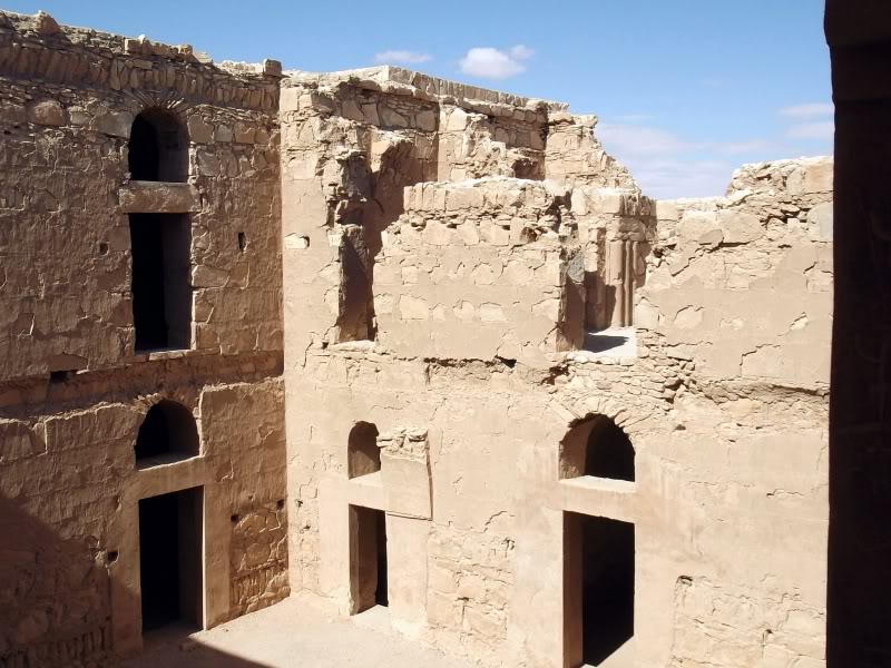
Inside are about 60 rooms arranged around a central courtyard on two levels. In the centre of the yard was a rainwater pool.
Each ‘room’ had an additional room inside that probably had the entrance covered and was where the females stayed, out of sight to callers.
Inside are about 60 rooms arranged around a central courtyard on two levels. In the centre of the yard was a rainwater pool.
Each ‘room’ had an additional room inside that probably had the entrance covered and was where the females stayed, out of sight to callers.
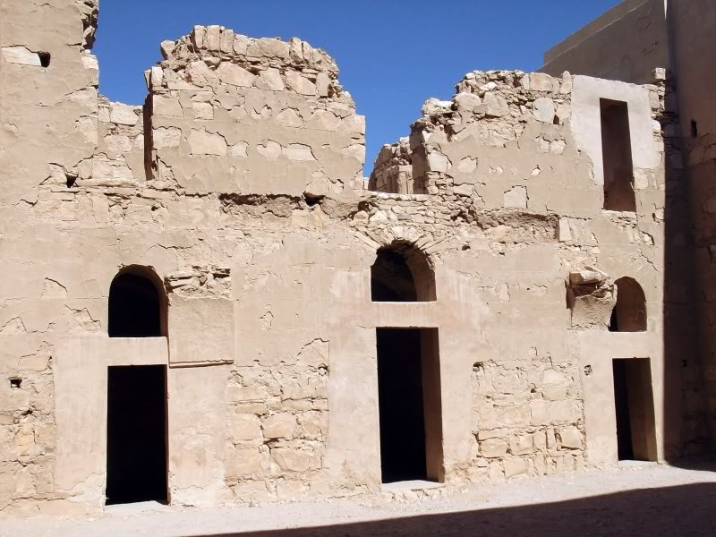
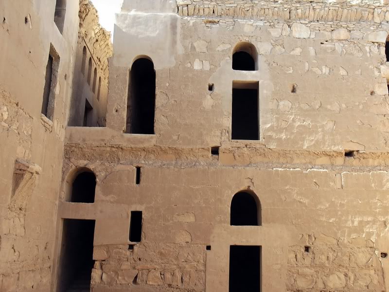
Obviously things are getting a bit into disrepair –
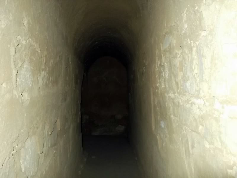
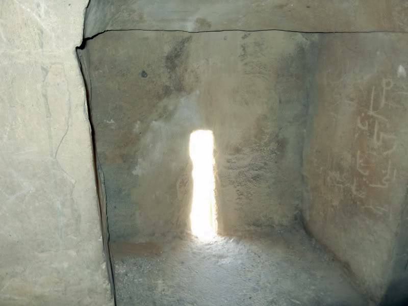
One of the ‘arrow slits’ down at floor level. Not the best place to try and shoot your bow. That’s why they are thought to be part of a ventilation system and control dust and light entering.
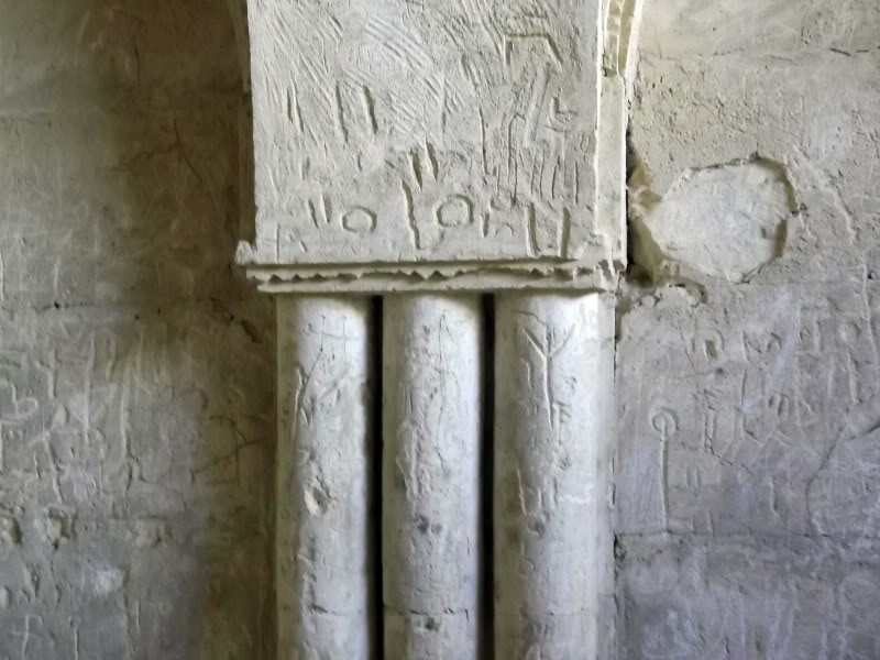
Some graffiti. I’ve no idea how old it is but apparently the building was aged by some in an upstairs room as being 710AD –
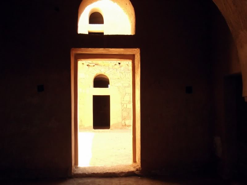
A final couple of shots of the interior courtyard –
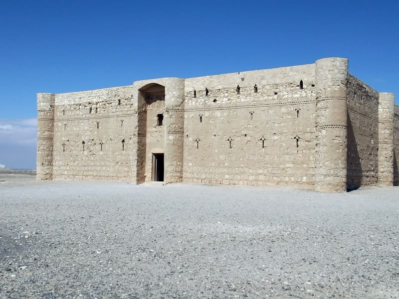
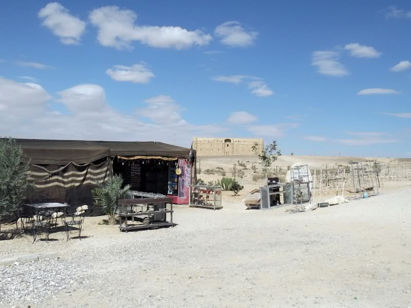
It was getting to be time for lunch so a couple of shots of the other side of the building –
And then back to the car stopping off for refreshments first at the Bedouin cafe. As expected it was still earlyish so I only had a cup of coffee –
The entrance is 2JD (2 Euro) per person – but that does depend if there is anyone to collect it.
When I went, there wasn’t.
When I went, there wasn’t.
